02 / The story
Beyond the flag.
Japan is an island nation where ancient temples and tea ceremonies coexist with bullet trains and neon megacities.
CapitalTokyo
Geography. Culture. A new perspective.
5M+ Downloads
Smart World Map & Countries is a geography app with flags, capitals, maps and country facts for 260 countries and territories. Learn with geography quizzes and explore travel ideas with Atlas AI.
Free to download for iPhone, iPad and Android. Optional Premium purchases unlock additional features.

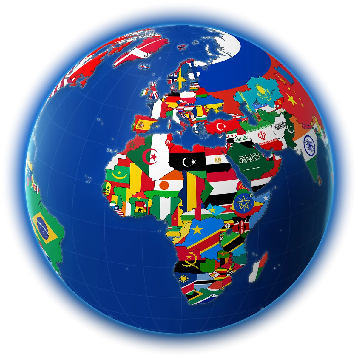
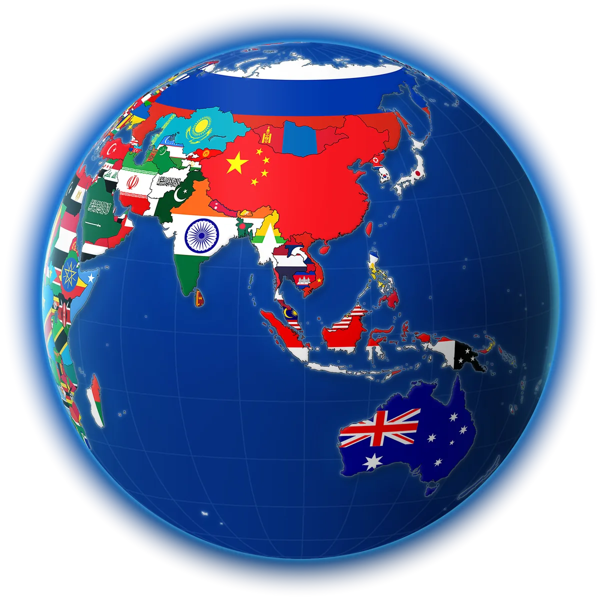
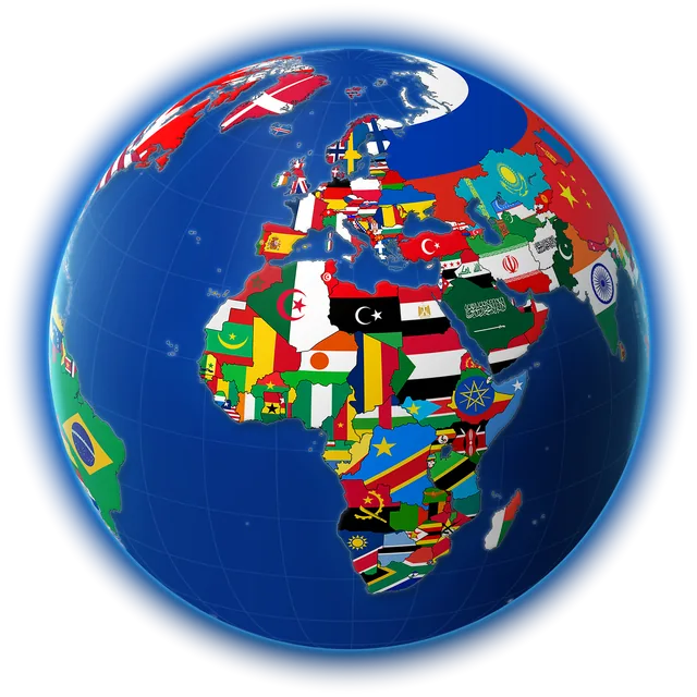
Try this interactive website preview: drag to rotate, choose a region, or tap a country for a few facts. In the app, explore detailed country profiles and an interactive world map.
The interactive globe is unavailable on this device. You can still search country facts and try the sample cards below.
Country lookup
Every flag opens a story. Find a country, read its guide, then see it come to life on video in the app.
Eastern Asia
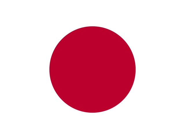
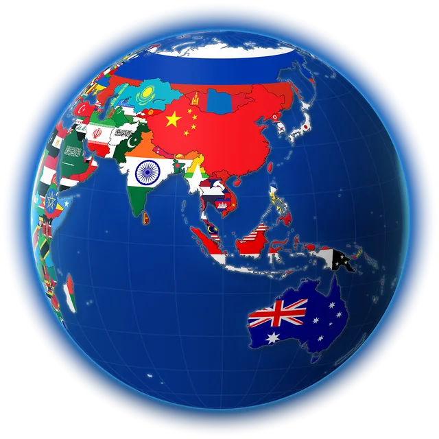

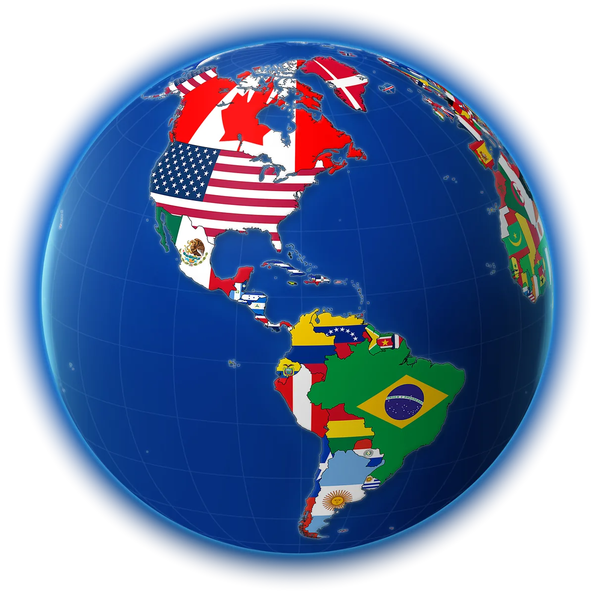
Website preview · 260 country profiles in the app
Country profiles in the app bring together flags, capitals, population figures and the details people look up. This website offers a smaller interactive preview.
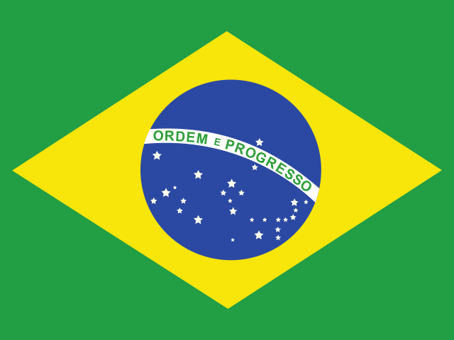
Sample population estimate
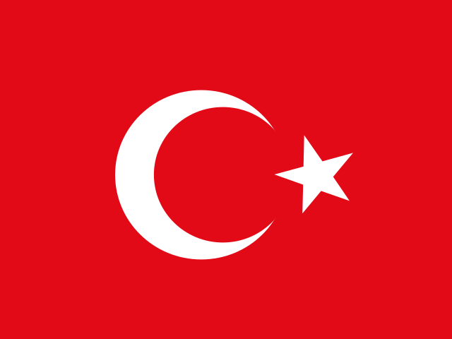
Capital, population, currency and the local time right now, so you know whether it’s breakfast or bedtime in Ankara.
Quick rounds turn what you’ve read into what you remember. Try four: a flag, a capital, a size duel and a map.
Geography quiz · 4 rounds
Which flag belongs to South Korea?
Tap the flag you think it is.
When to go, what to eat, how two countries compare. Atlas AI answers in your language, and you can keep asking follow-up questions.
Country facts work offline. Atlas AI, interactive maps and map-based games need an internet connection.
Interactive example with sample replies. Tap a suggestion to try it; chat with Atlas AI in the app.
Detailed flags for all 260 countries and territories, crests and all.
Country facts are stored on your phone, so they’re there on a flight or abroad without data.
Listen to a country’s page instead of reading it. Handy for learners and long drives.
The whole app in your language, from Español to 日本語.
Best time to visit, local food and culture, from Atlas AI.
Put two countries side by side by size, people, money and more.
Available in 28+ languages. Here are some of the language options you can explore.
Follow your curiosity
Look closer at a flag. Remember a capital. Read a country story. Start your next discovery with our geography guides.
Explore world flags and learn the details that help you tell similar designs apart.
Explore the flag guide Learn + test yourselfConnect countries with capitals, check common mix-ups and try eight recall cards.
Learn countries and capitalsCoverage, pricing, offline use and Atlas AI, answered. Still curious? Contact support.
Smart World Map & Countries is a world atlas and geography app for iPhone, iPad and Android. It brings together country profiles, national flags, capitals, currencies, languages, geography quizzes and Atlas AI travel ideas.
The app includes 260 country and territory profiles across Europe, Asia, Africa, North America, South America and Oceania. This website has a smaller interactive preview with 236 entries. The profile count includes territories and is not a count of sovereign states.
Use country profiles to look up national flags and capital cities, then practice with geography quizzes in the app. Try the four-round sample geography quiz in the website preview, or read the app guide for ways to learn and explore.
The app supports 28+ languages, including English, Spanish, French, German, Portuguese, Turkish, Arabic, Hindi, Japanese, Korean and Chinese. See the language previews. This website is available in 28 languages too; choose yours from the language menu at the top of any page.
The app is free to download with optional Premium purchases. Premium unlocks additional features, and free access can vary by platform. Check the listing and in-app purchase screen for current pricing and access.
Country facts are stored on your phone for offline reading. Atlas AI, interactive maps and map-based games require an internet connection.
This website shows an interactive example with sample replies. Download the app to ask your own questions and continue a conversation with Atlas AI.
Smart World Map & Countries is available for iPhone, iPad and Android. The App Store and Google Play show the current operating-system requirements for your device.
Contact support and include your device, app version and a short description of the issue. Platform-specific privacy policies and terms are linked below.
260 countries and territories, a globe you can spin, and answers in your language. Free to download on iPhone, iPad and Android, with optional Premium purchases.
5M+ Downloads